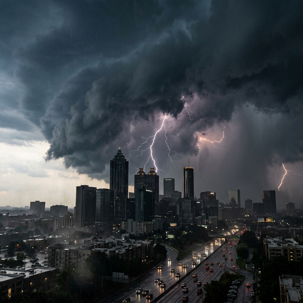

The Georgia Environmental Protection Division declared a statewide Level 1 Drought Response on Sunday, citing record-low stream flows and deepening reservoir deficits that have pushed roughly 80 percent of the state into extreme or exceptional drought categories.
It is the most significant drought declaration the state has issued since the severe water crisis of 2007.
Lake Lanier’s slide
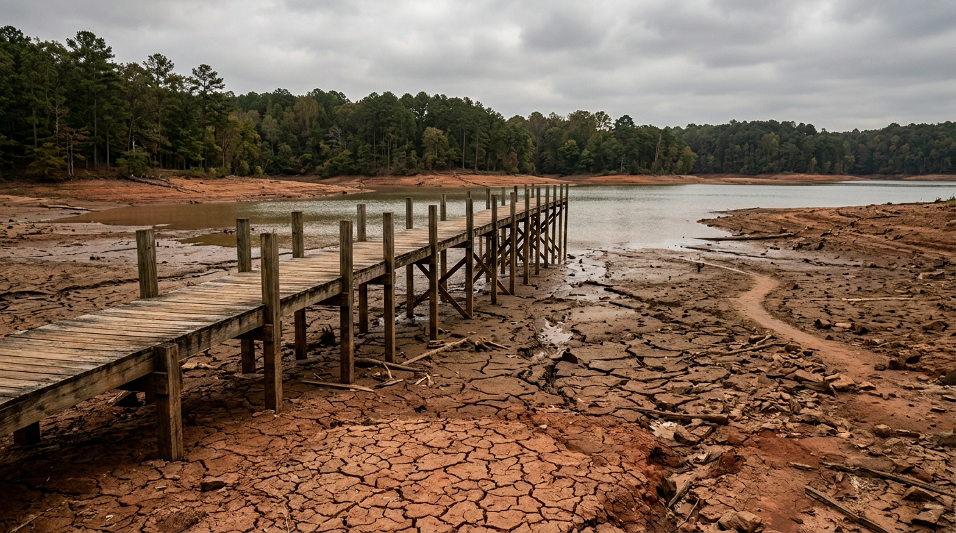
The state’s largest water source tells the story in numbers. Lake Lanier sat at approximately 1,065.7 feet above mean sea level as of Sunday afternoon — more than five feet below the Army Corps of Engineers’ full-pool target of 1,071 feet.
Marina operators around the reservoir reported exposed red-clay banks and docks resting on mud in some coves. Boat ramps at several parks are partially or fully unusable.
“We’ve been watching this trend since January. Stream inflows to the lake have been running 30 to 40 percent below their 30-year average every month this year.”
— Georgia EPD spokesperson
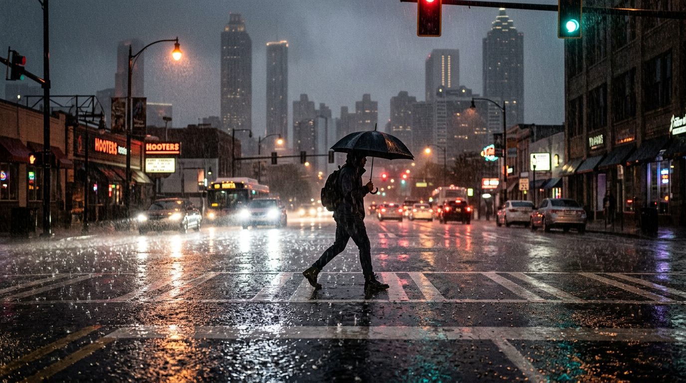
The Chattahoochee River below Buford Dam, which supplies drinking water for much of metro Atlanta, is also flowing well below seasonal norms.
What Level 1 means
Under Georgia’s three-level drought response framework, Level 1 is the least restrictive classification. It does not impose mandatory water bans. Instead, it:
- Activates the state’s drought-monitoring network
- Encourages voluntary conservation by residents, businesses, and farms
- Directs public water systems to review their drought contingency plans
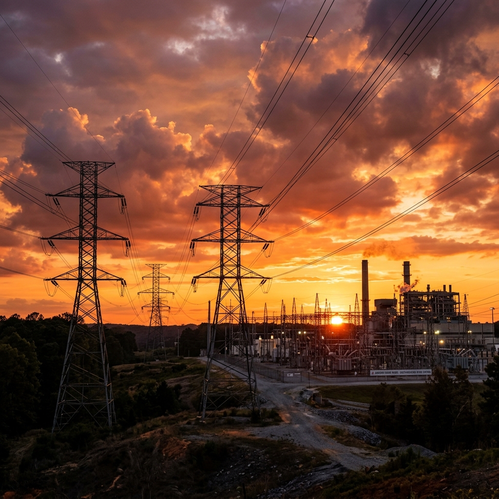
- Triggers enhanced coordination between EPD, the Army Corps, and downstream users in Alabama and Florida
Standard outdoor-watering guidelines remain in effect: residents are asked to limit irrigation to the hours between 4 p.m. and 10 a.m. to reduce evaporative loss.
How we got here
Georgia entered 2026 with soil-moisture deficits carried over from a dry autumn and winter. January through March brought below-average precipitation across most of the state, and April delivered even less. The cumulative rainfall deficit in metro Atlanta now exceeds six inches compared with the 30-year normal.
Agricultural interests in south Georgia have been hit hardest. The state’s pecan and peanut crops depend heavily on spring rain, and several counties have reported planting delays and early irrigation draw-downs that are stressing local aquifers.
The 2007 comparison
State officials are careful to note that conditions have not yet reached the severity of the 2007 drought, when Lake Lanier fell nearly 20 feet below full pool and Georgia entered a bitter legal fight with Alabama and Florida over shared water from the Chattahoochee basin.
But the speed of this year’s decline has caught attention. The lake dropped more than three feet in April alone, a pace that — if sustained through summer — could push the state toward a Level 2 declaration and mandatory restrictions.
What’s next
The EPD said it would reassess conditions on a biweekly basis and issue updated guidance to municipal water providers. Forecasters with the National Weather Service’s Peachtree City office said the medium-range outlook through mid-May offers only marginal rain chances.
Residents can check current reservoir levels and drought status at the EPD’s drought monitor page.
Tom Whitaker covers weather, climate, and the environment for WACN 21. Reach him at twhitaker@wacn21.com.