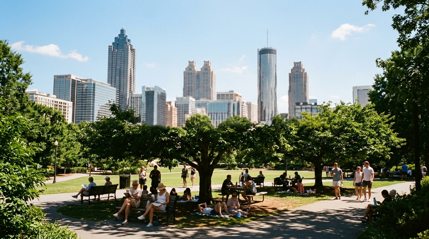

ATLANTA — Tuesday is not a freeze story. It is a water bottle and shade story.
National Weather Service point forecasts for Atlanta grids show a familiar late-summer package: mostly sunny mornings, highs near 91–94°F through the week, heat index values as high as about 99–100°, overnight lows in the mid-70s, and daily chances of showers and thunderstorms that cluster in the afternoon and evening. NWS Atlanta’s public messaging earlier in the week already flagged temperatures trending upward and heat indices likely near triple digits by mid to late week.
Tuesday’s working map
Recent NWS detailed language for Atlanta grids has clustered around:
- High near 91–92° Tuesday with heat index as high as 99
- 30 percent afternoon/evening storm chances on several days
- Lows around 74–76° — muggy nights that do not fully reset the body before the next day
- A slow climb toward 93–94° highs later in the week on some extended grids
That pattern rewards morning outdoor labor and punishes 3 p.m. roof work, unshaded youth sports, and warehouse docks without airflow. Heat index is the operational number: humidity slows how the body sheds heat even when the bank-sign temperature sits in the low 90s.
Storms still hitch a ride on the heat
Warm, moist air keeps diurnal thunderstorm chances on the table. Slow-moving cells can still produce brief wind damage, street flooding, and lightning delays at Truist Park, high school practices, and outdoor festivals. A black sky over the Downtown Connector remains a reason to slow down, not a surprise.
National context: NOAA’s July record
FOX 5 Atlanta, citing the Associated Press and NOAA, reported that July 2026 was the warmest month on record for the Lower 48, with a U.S. average of 76.89°F, edging the Dust Bowl July 1936 mark by about an eighth of a degree. NOAA’s Russ Vose noted every Lower 48 state ran at least 1°F above the 20th-century average for the month. Scientists highlighted record-warm overnight lows as a major driver — a classic climate-change fingerprint in the peer-reviewed literature, distinct from the more regionally concentrated Dust Bowl heat.
That national number does not by itself issue a metro Heat Advisory. It does explain why NWS Atlanta’s “be mindful of the heat” language is not filler copy in the second week of August.
Practical checklist
- Hydrate before thirst on outdoor job sites.
- Shift heavy outdoor work into morning hours while heat index sits near 100°.
- Watch NWS Atlanta for any Heat Advisory upgrade covering metro counties.
- Keep a rain plan for evening sports even on sunny mornings.
- Check on neighbors without reliable air conditioning on the hottest nights.
Source note
This brief is anchored in National Weather Service Atlanta/Peachtree City public forecast language and Atlanta point-forecast grids (highs, heat index near triple digits, storm chances, muggy nights) plus FOX 5 Atlanta’s Aug. 10 report on NOAA’s July 2026 U.S. temperature record (76.89°F Lower 48 average; edge over July 1936; statewide warmth; overnight lows). Local storm timing and any advisory issuance follow the office’s latest products, not this morning summary.