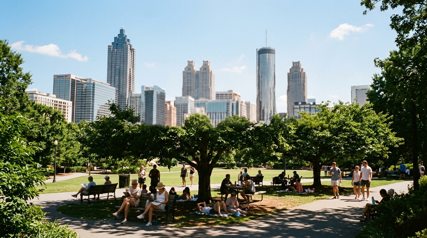

ATLANTA — The relief window, such as it was, is closing.
The National Weather Service office in Peachtree City is telling north and central Georgia that rising temperatures and increased moisture will make the air feel “quite toasty” this week. The office’s public headline language says many locations will see temperatures creep into the mid-90s through the weekend, and that heat indexes are likely to return to or approach triple-digit values by mid to late week.
What the grids are sketching
Point forecasts for the Atlanta area on the NWS suite have been clustering around:
- Wednesday highs near the low 90s with heat index values as high as the upper 90s to near 99 on some urban grid points.
- A sun-then-storms pattern rather than an all-day washout — useful for morning errands, less friendly for unshaded afternoon shifts.
- Overnight lows still hanging in the mid-70s, which keeps homes and cars from fully resetting before the next heat pulse.
Those numbers move every model cycle. The durable message from the office is the heat-index rebound, not a single degree on a bank sign.
Who should change plans first
- Outdoor workers and coaches — schedule heavy lifts early; build water and shade breaks that are real, not performative.
- Families on late-summer calendars — pool time is still fine with sun protection; unshaded playground metal is not.
- Game-night and festival crowds — Truist, Midtown rooftops, and park events stack heat stress on top of walking and alcohol; hydrate before you enter the gate.
- Anyone without reliable cooling — check on neighbors; heat illness climbs fastest when nights stay warm.
Storms are not canceled
Even in a heat-dominant pattern, NWS language continues to carry chance thunderstorms on some midweek afternoons and evenings. A 20–40% storm chance is not a washout forecast, but it is enough to delay a first pitch or cut a picnic short. Keep a radar tab open if you are responsible for an outdoor group.
How to use the forecast without overreading it
- Read the NWS Atlanta / Peachtree City area forecast discussion or hazardous weather outlook each morning.
- Prefer heat index over air temperature when deciding whether a long outdoor block is smart.
- Treat social-media “feels like 110” screenshots as unverified unless they match an NWS or trusted station graphicast.
Source note
This brief is anchored in the live public language on the NWS Atlanta (Peachtree City) office site regarding mid-to-late week heat indexes approaching or reaching triple digits, plus standard Atlanta point-forecast products showing low-90s highs and upper-90s heat-index peaks midweek. Always refresh nws.weather.gov/ffc before you lock a worksite or team schedule.
Source: NWS Atlanta / Peachtree City — area forecast office.