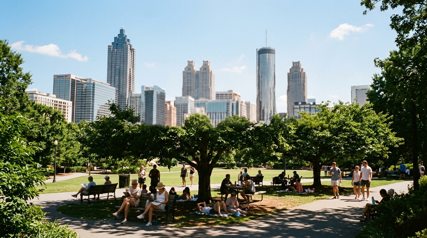

ATLANTA — Summer is not done negotiating.
The National Weather Service office in Peachtree City highlighted a familiar late-summer package for north and central Georgia: gradually warming temperatures, continued daily chances for showers and thunderstorms over the next several days, and heat index values likely returning to triple digits by the middle of next week — especially across portions of central Georgia.
Sunday’s working forecast
Point forecasts for Atlanta-area grids on weather.gov late Saturday called for a mostly sunny to partly sunny Sunday with highs near the lower 90s and a chance of afternoon showers and thunderstorms — generally in the 20–40 percent range depending on exact metro location — then a slight chance of storms Sunday night with lows in the low-to-mid 70s. Those percentages are not a guarantee of widespread soaking rain; they are a signal to keep outdoor plans flexible after lunch.
Aviation and climate pages tied to the same office still show classic August diurnal rhythm: cooler relative mornings, hotter afternoons, and storm initiation where daytime heating and leftover moisture overlap.
The midweek heat message
NWS Atlanta’s graphicast language is blunt on the heat: heat index values are likely to return to triple-digit readings by midweek, particularly across parts of central Georgia. That is a planning flag for youth sports, roof work, warehouse shifts, and weekend warriors who treat Monday–Wednesday like they still own May mornings.
Heat index is not the air temperature on the bank sign. It is how hot it feels when humidity slows sweat evaporation. Triple-digit heat index periods are when the office’s heat-safety messaging — water, shade, staged work-rest cycles, checks on vulnerable neighbors — stops being boilerplate and starts being operational.
Storms still on the daily menu
Even as the drought’s severe categories cleared statewide in recent Drought Monitor cycles, afternoon storms remain part of the pattern. Slow-moving cells can still produce localized flooding on urban streams and poorly drained parking lots. Drivers on the Downtown Connector and suburban arterials should treat a black sky at 4 p.m. as a reason to slow down, not a reason to beat the light.
NWS products active on the office homepage cycle can include Hazardous Weather Outlooks and occasional Special Weather Statements when storm clusters organize. Those are the pages to refresh if you manage outdoor events Sunday through midweek.
Practical checklist through midweek
- Hydrate early on outdoor job sites; do not wait for afternoon peak.
- Schedule heavy yard work for morning hours before heat index climbs.
- Have a rain plan for Sunday festivals and sports; 20–40% storm chances are enough to soak a sideline.
- Watch central Georgia hardest for the first sustained triple-digit heat index push of the new week.
- Remember the drought context: severe drought ending does not cancel heat stress or pop-up floods.
Source note
This brief is anchored in National Weather Service Atlanta/Peachtree City public forecast highlights and Atlanta-area point forecasts published on weather.gov, plus the office’s multi-day graphicast messaging on warming temperatures, daily storm chances, and midweek heat index. Local timing of any individual storm will vary; the forecast office’s latest hourly graph and radar are authoritative over any morning newspaper summary.
WACN 21 will note any heat advisory or flood watch upgrades if NWS Atlanta issues them for the metro counties.